
Devils Fork State Park, Salem, United States
Basic Info
Address: 161 Holcombe Cir
Distance from the campground to Salem: 5.73 mi
Accommodation Types
Tent allowed
RV allowed
Cabin
Campground Rules
Pets allowed
Downloadable Map 1 » Devils Fork State Park
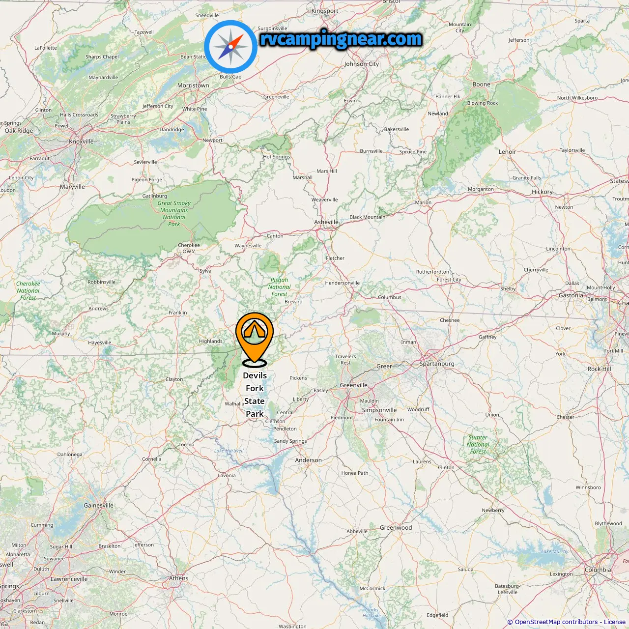
Location of Devils Fork State Park

Downloadable Map 2 » Devils Fork State Park
Location of Devils Fork State Park
More campgrounds in Salem
Find campgrounds in these cities near Salem
Campgrounds in Tamassee (3.37 mi from Salem)
Campgrounds in Picket Post (7.49 mi from Salem)
Campgrounds in Jocassee (6.65 mi from Salem)
Campgrounds in Eastatoe (7.15 mi from Salem)
Campgrounds in Moody Cove (8.26 mi from Salem)
-
Mountain Rest Mountain Top »
11.55 mi from Moody Cove
-
Simms Field »
11.55 mi from Moody Cove
-
Sandy Beach Campsite »
11.55 mi from Moody Cove
-
Big Bend »
11.55 mi from Moody Cove
-
King Creek »
13.5 mi from Moody Cove
-
Burrells Ford Campground »
14.61 mi from Moody Cove
-
Fish Hatchery Camp »
13.93 mi from Moody Cove
Campgrounds in Saxony Forest (10.77 mi from Salem)
Campgrounds in West Union (11.59 mi from Salem)
Campgrounds in Walhalla (12.08 mi from Salem)
Campgrounds in Nimmons (14.76 mi from Salem)
Campgrounds in Six Mile (18.33 mi from Salem)
Campgrounds in Russell (Historical) (26.29 mi from Salem)
Campgrounds in Sunset (12.38 mi from Salem)
Campgrounds in South Cove (17.92 mi from Salem)
Campgrounds in Whetstone (21.68 mi from Salem)
Campgrounds in Cane Brake (37.8 mi from Salem)