
Rock Creek Trailhead, Slate Creek, United States
Basic Info
Distance from the campground to Slate Creek: 7.98 mi
Accommodation Types
Tent allowed
RV allowed
Campground Rules
Pets allowed

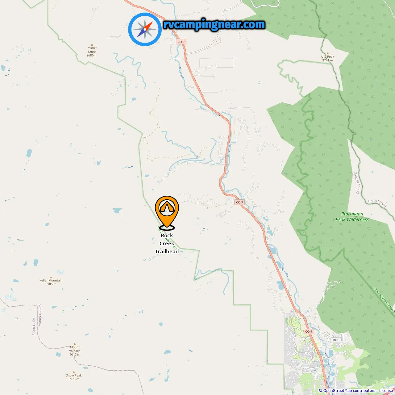
Downloadable Map 1 » Rock Creek Trailhead
Location of Rock Creek Trailhead
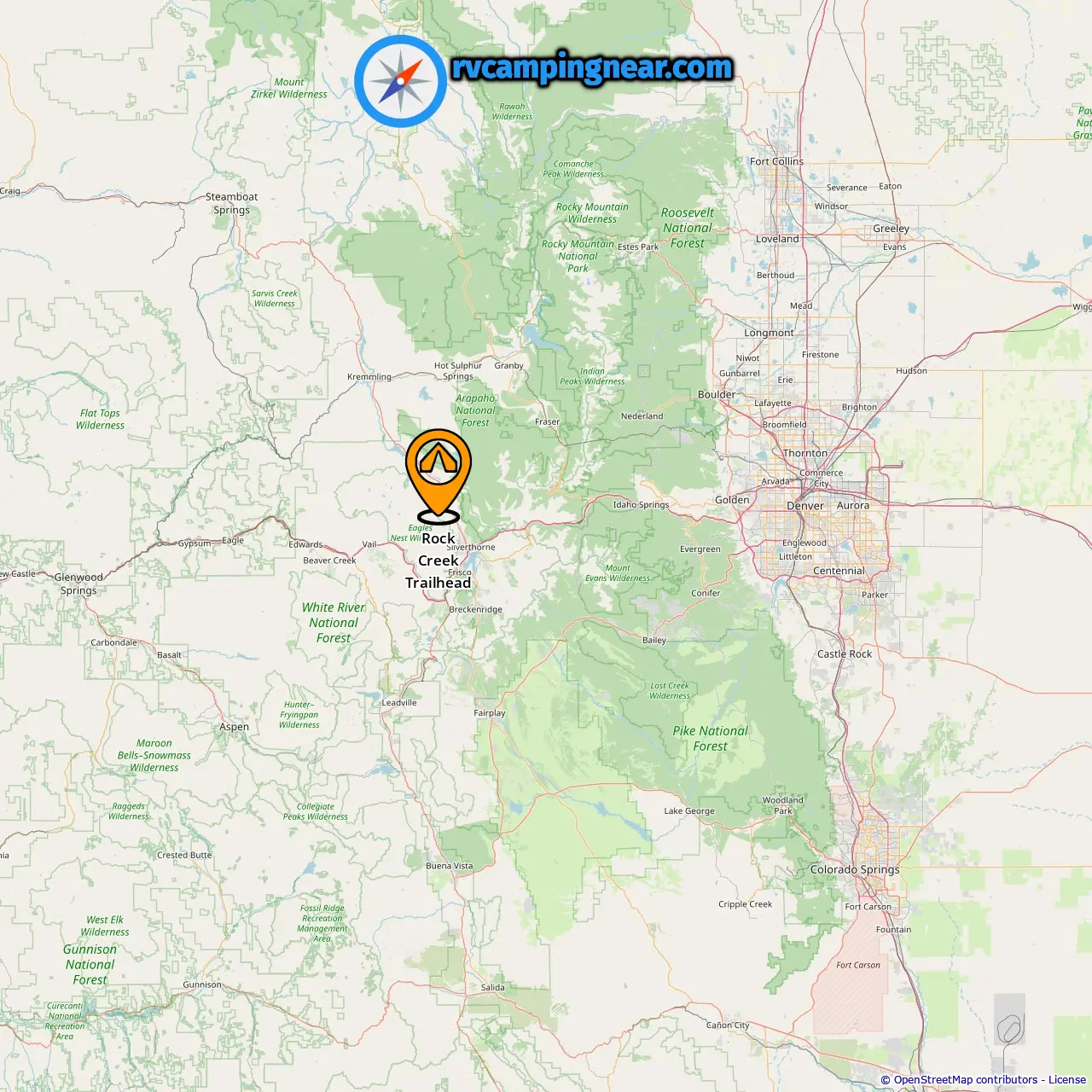
Downloadable Map 2 » Rock Creek Trailhead
Location of Rock Creek Trailhead
More campgrounds in Slate Creek
Find campgrounds in these cities near Slate Creek
Campgrounds in Leal (14.02 mi from Slate Creek)
Campgrounds in Heeney (11.37 mi from Slate Creek)
Campgrounds in Silverthorne (12.4 mi from Slate Creek)
-
Tent Camping »
5.38 mi from Silverthorne
-
Heaton Bay »
5.29 mi from Silverthorne
-
Windy Point Group Campground »
8.05 mi from Silverthorne
-
Blue River Campground »
7.29 mi from Silverthorne
-
Columbine Landing Recreation Site »
9.95 mi from Silverthorne
-
Prairie Point Campground »
18 mi from Silverthorne
-
White River National Forest Prairie Point Campground »
18.3 mi from Silverthorne
-
McDonald Flats Campground »
18.63 mi from Silverthorne
-
Cataract Creek Campground »
23.86 mi from Silverthorne
-
Cow Creek South Campground »
22.54 mi from Silverthorne
-
Cow Creek South Campground »
23.05 mi from Silverthorne
-
Cow Creek North Campground »
22.46 mi from Silverthorne
-
Elliot Creek Campground »
26.57 mi from Silverthorne
-
Willows Campground »
24.71 mi from Silverthorne
Campgrounds in Dillon (14.48 mi from Slate Creek)
Campgrounds in Bighorn (39.37 mi from Slate Creek)
Campgrounds in Frisco (18.31 mi from Slate Creek)
Campgrounds in Vail (43.19 mi from Slate Creek)
Campgrounds in Keystone (20.49 mi from Slate Creek)
Campgrounds in Gold Hill (22.09 mi from Slate Creek)
Campgrounds in Sheephorn (40.7 mi from Slate Creek)
Campgrounds in Parshall (36.75 mi from Slate Creek)
Campgrounds in Berthoud Falls (48.27 mi from Slate Creek)
Campgrounds in Dowds Junction (47.91 mi from Slate Creek)
Campgrounds in Minturn (49.59 mi from Slate Creek)
Campgrounds in Bakerville (28.79 mi from Slate Creek)